SF/Pacifica Coastal Regional Sediment Mgmt Plan

The draft San Francisco to Pacifica Littoral Cell Coastal Regional Sediment Management Plan is now available for public review and comment. View the draft plan and comment here.  UPDATE: Comment period extended to Feb 17, 2016.

There will be a local public meeting to present the draft plan’s purpose and contents, answer questions and solicit comments on Thurs, Jan 21, 6:00-8:00 PM, at The Little Brown Church, 1850 Francisco Blvd, Pacifica.

Coastal Regional Sediment (sand) Management Plans (CRSMP) are being developed for specific portions of the coast (littoral cells).  The program seeks to present ways to restore and preserve beaches, reduce the proliferation of protective shoreline structures, sustain recreation and tourism, enhance public safety and access, restore coastal sandy habitats, and identify cost-effective solutions for restoration of areas impacted by excess sediment.  

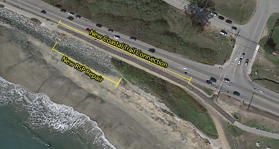
Santa Cruz Littoral Cell CRSMP includes the coast from Pillar Point to Moss Landing. The final plan (17MB) was released Sept 2015.  

The Midcoast north of Pillar Point is not included in either of these studies. See MCC presentation 12/9/15.

MCC Meeting Dec 9, 2015

Agenda for December 9, 2015, 7:00 PM
GCSD meeting room, 504 Ave Alhambra, 3rd floor, El Granada

Consent agenda: Minutes for Nov 18, 2015

Vallemar Bluff Pre-Application Workshop (public notice) on proposal for 6 new homes on 2.5-acre Moss Beach shoreline blufftop: MCC comments (approved)
Project Summary & Plans -- More background/pictures
Public comments:
Botanist Toni Corelli (CA Native Plant Society) letter - slides
Committee for Green Foothills letter - attachment
James & Katharine Lockhart
Gail Erwin & Paul Smith

Coastal Armoring:  presentationCA Coastal Armoring Report 2015

MCC letter supporting grant app for 16th/lighthouse crossing

UPDATE:  12/9/15 meeting video & minutes

King Tides & Coffee at Surfers’ Beach Nov 24

Join SMC Supervisor Don Horsley and HMB Mayor Marina Fraser for coffee and views of the king tide from the California Coastal Trail at Surfers' Beach. Meet at the Mirada Surf picnic tables near Coronado - Bring your travel mug and camera!  

Tues, Nov 24, 8:30–10 AM (high tide at  8:30)

The California King Tides Project helps people visualize how sea level rise will impact their lives. The highest high tides of today will be the average water levels of the future.

2015/2016 King Tides Season Dates:
November 24, 25, and 26, 2015
December 22, 23, and 24, 2015
January 21 and 22, 2016

Hwy 1 Surfers' Beach Project Starts Nov 23

Over the next few months Caltrans will install 175-linear feet of rock slope protection on Surfers’ Beach as an interim solution (10-15 years) to reduce erosion and prevent collapse of Highway 1. The project includes paving a 400-foot section of the Coastal Trail along the west side of the highway and a staircase down to the beach.

Construction activities will occur between 7AM and 3:30 PM, although some night work may be required.  Minimal lane closures may take place. The pedestrian trail will be temporarily detoured. Construction is expected to be complete by Jan 2016.

This slide presentation includes project plan view and beach cross section.
This press release provides more background.
See MCC Surfers' Beach page and Caltrans project page for more info.